Capture requests
Keep caller details, locations, descriptions, and work types together.
Workdera gives your team a straightforward way to collect service requests, notify the right people, record completed work, and follow every ticket from intake to closure.
Keep caller details, locations, descriptions, and work types together.
Notify the appropriate people and give staff a clear next action.
Record the response, work performed, responsibility, and current status.
Use mapped work orders and statistics to understand patterns and workload.
A practical work order system
Workdera is a web application built around the way service requests actually move—from the first call through the work performed and the final status. Staff do not need GIS software or GIS expertise to use it.
Keep request, location, assignment, status, and completed work in one place.
Help the right division or staff member know when new work needs attention.
Capture addresses, intersections, GPS positions, or a point selected on the map.
View where work is happening, who is responsible, and how tickets are progressing.
The Workdera process
A straightforward workflow keeps the people, place, problem, response, and outcome connected.
Capture caller information, the work location, a description, and the appropriate work type.
Route the ticket to the appropriate department or staff so it can be reviewed and assigned.
Document the action taken, update the status, and preserve the history of the work.
Complete the ticket with the original request and response information stored together.
Inside the application
Workdera is designed for practical use in the office and in the field.
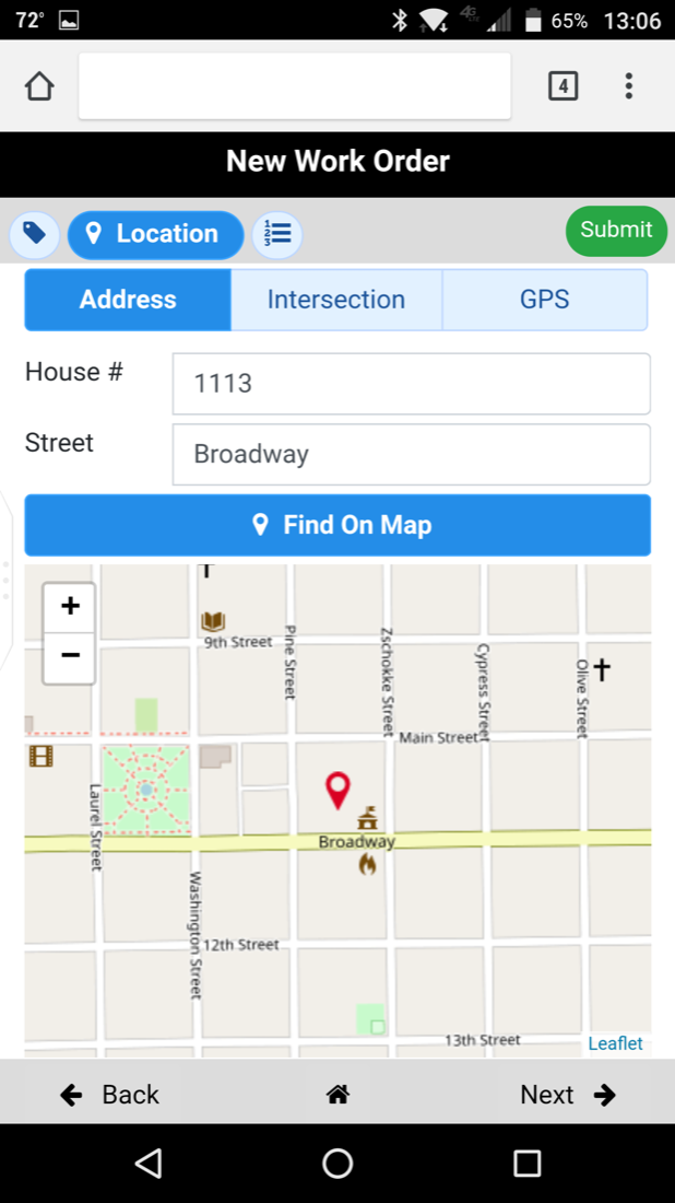
Use an address, intersection, GPS location, or the map to connect work with place.
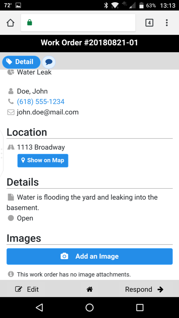
See contact information, location, description, status, images, and response history.
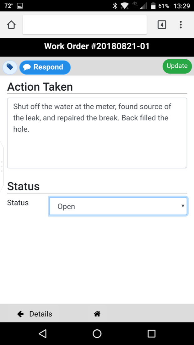
Record the action taken and update the ticket so everyone can see its current state.
GIS where it adds value
Everyday users work in Workdera’s focused interface. Organizations that use GIS can also view and analyze their work-order information in ArcGIS or QGIS.
Adaptable by design
The same core workflow can support other location-aware records that need intake, assignment, follow-up, and closure.
Workdera is currently delivered as a managed solution. Spatial Connections works with your organization to understand the workflow, configure the application, prepare the supporting data, and provide ongoing support. You get a system shaped around your operation without having to build or manage it alone.
Start a conversation
Tell us what you need to track and how work currently moves through your team. We’ll help you determine whether Workdera is a good fit.
Your inquiry has been received. We’ll review the details and follow up with you soon.